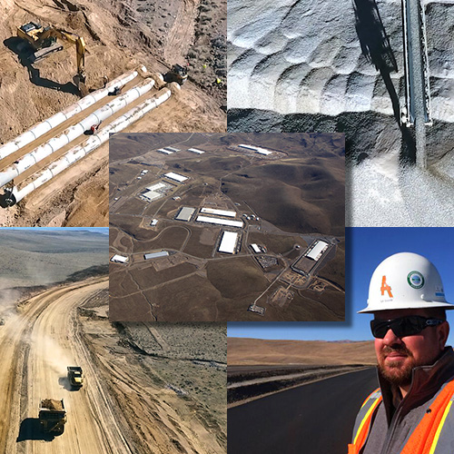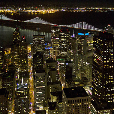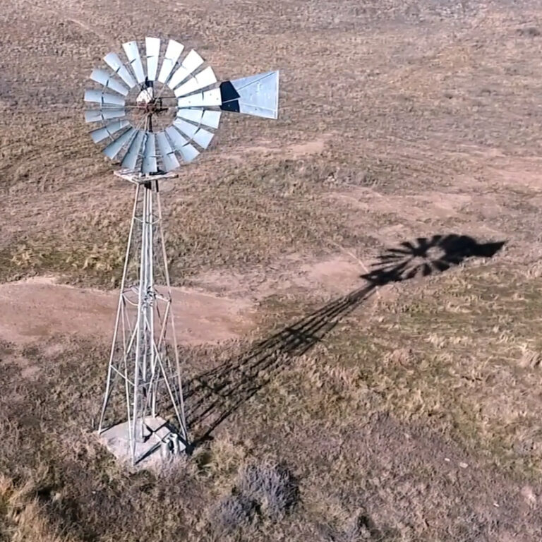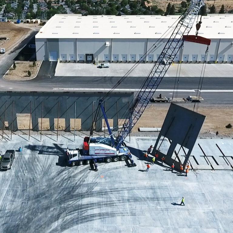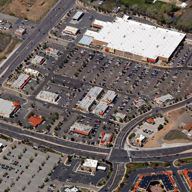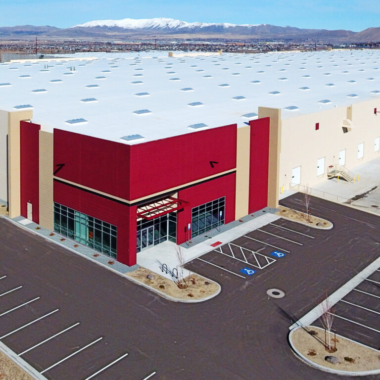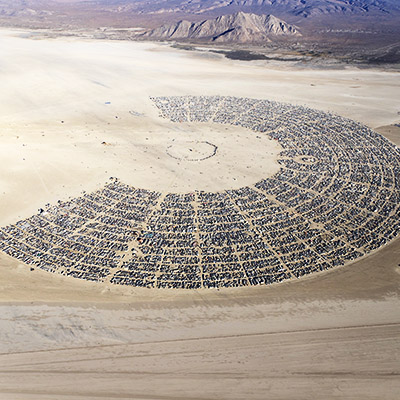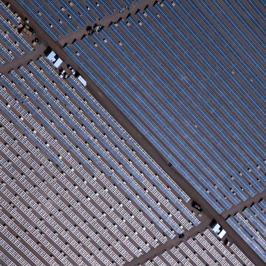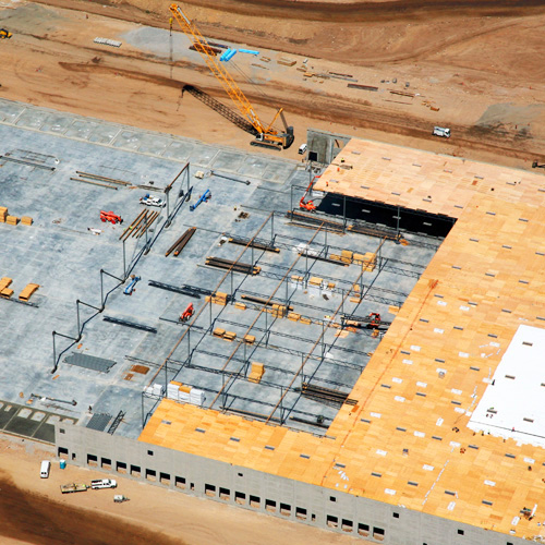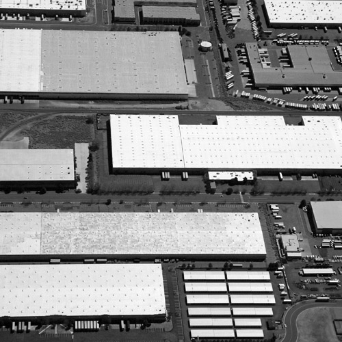
Purchase Wall Wraps, Prints and More!
Need an Artistic Aerial wall wrap or print? Aerial wall wraps and prints look amazing in your home, business or as a unique gift. Below are my are stock aerial photography images from across Nevada, Arizona, Lake Tahoe and Northern California. Images are available on my online gallery Evan Petty Photography as print, canvas, wall…