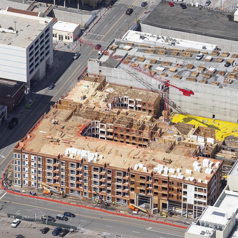
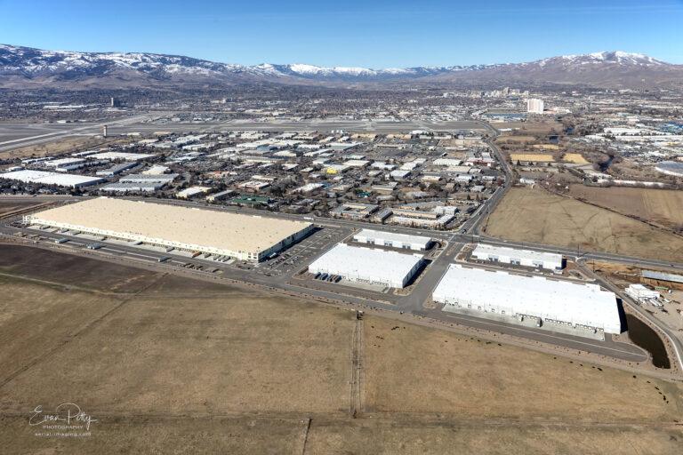
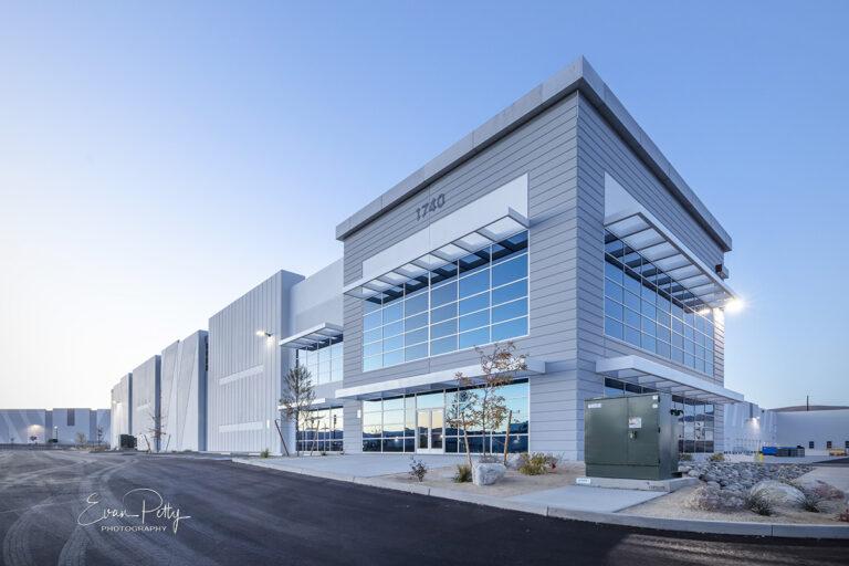
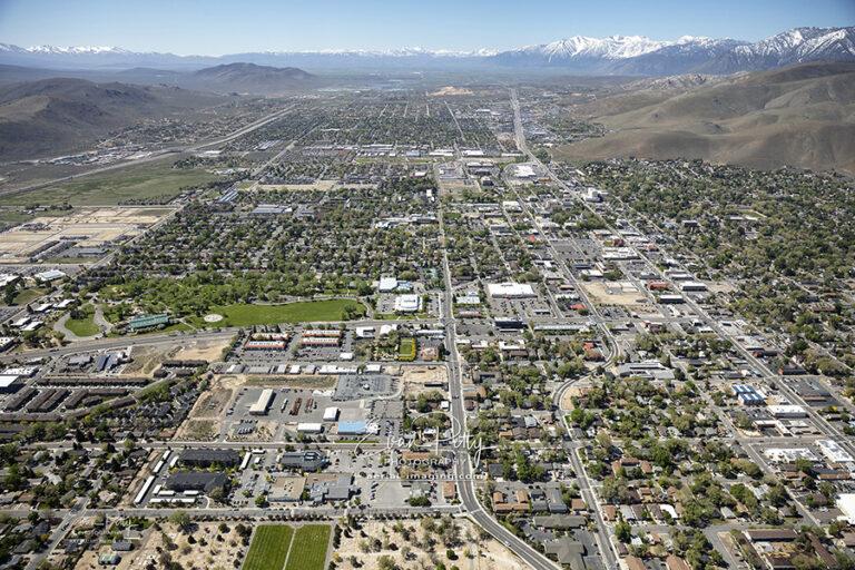
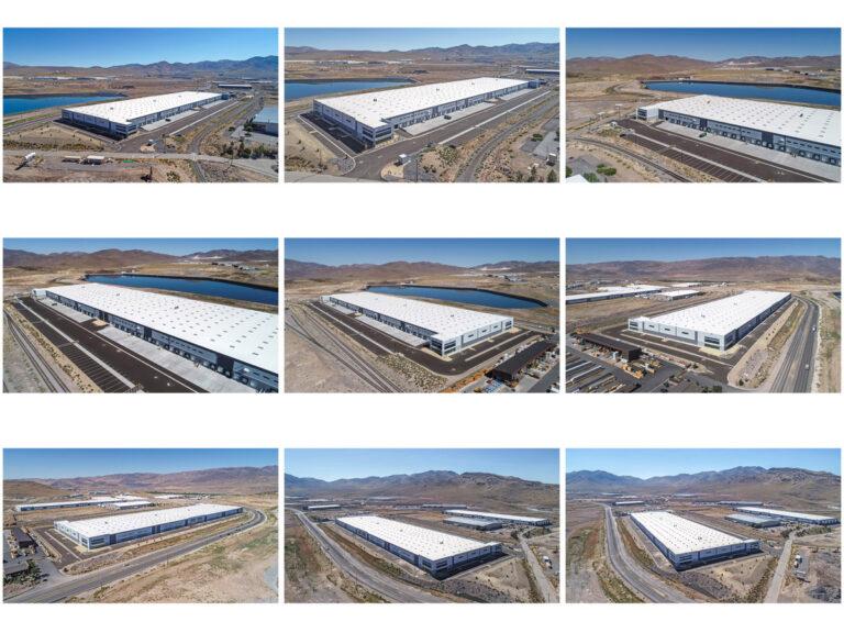
Signup for aerial updates for your construction project and receive a free 16″ print to use on your jobsite.

Misoprostol 200mcg tablets express shipping by evan Leave a Comment
Signup for aerial updates for your construction project and receive a free 16″ print to use on your jobsite.
The aerial tram at Palisades Lake Tahoe starts at Olympic Village and climbs the mountain, ending at Tahoe’s High Camp. Palisades High Camp is located at 8,200 feet above sea level.
Snow accumulation at Palisades Ski Resort has reached 600 inches of snowfall this season as of mid-March 2023. An average year of snowfall at Palisades is about 399 inches. According to the Western Regional Climate Center the snowiest year on record for the Lake Tahoe area was 1951-1952. During that year, the area received 884 inches (about 73.7 feet) of snow. Other years with significant snowfall in the Lake Tahoe area include 1994-1995, when the area received 811 inches (about 67.6 feet) of snow, and 2016-2017, when the area received 728 inches (about 60.7 feet) of snow.
Learning how drone and airplanes compare, specifically for construction aerial photography is important. It can affect who you hire to get you the right images or video. Here is a comparison between drone and airplane:
Airplane aerial updates are shot by the photographer from the airplane from a window that is designed to open for this use. Using professional SLR camera equipment, this has been the process before drones came on the scene.
Airplane allows for higher altitudes where you can shoot wider surrounding views typically. It is an advantage to show the sweeping views surrounding the project location. Additionally, you can also get close-in high resolution detailed shots with a fantastic zoom lens. True photographers know how to frame shots properly and get clear, sharp images for wide and zoomed-in shots. Photographers have that advantage if they know how to use their camera gear.
Here is where experience comes in! It might seem counter-intuitive, but I am going to reveal that aerial construction photography using an airplane is my best price!By nesting jobs at the end of the month, my aerial photography costs less on a per-site basis for construction than my other aerial pricing. Construction aerials with an airplane is less expensive than what I charge to use a drone onsite. Pricing depends on how many projects I am shooting. The more sites the better to help keep the price down.
Drone video is very appealing, but remember video needs to be edited properly to be effective. Video clips should include your company project, company logo, date, and any details directly in the clips. This requires additional editing to look good, and that can bump up the price. If you are considering video to get more social media appeal, consider this. Video might get you more views, but the clips could be have less value than images in the future (except for internal use). It is critical to also understand that the construction company needs to review the video footage before approving editing, to make sure they are not exposing themselves to any possible visible violations from a low-flying drone video. They need to review the footage ahead of editing, which puts another step in the editing process. Marketing departments (in my experience) are very happy with good images for presentations, social media, newsletters and internal communication. Images provide flexibility, are easy to use, and can be cropped and adjusted. Well shot images can communicate the project details as well as a video.
Drone and airplane have unique differences, both are suited for construction aerial photography. For construction aerial updates I prefer using an airplane for imagery, if video is needed then drone is superior.
You can use your new aerial updates to post on social media and newsletters. Images are ideal because they can be cropped and adjusted for different sizes needed on Facebook, Instagram, Twitter and LinkedIn. Editing can be fairly easy to adjust, and images can be included in a story or project update. Images can also be used in newsletters or emails to update customers.
Construction aerial images are great to use in presentations when bidding for a new project. You might find new images show your team has a notch above the competition when showing great aerials. You convey experience and knowledge about a project instantly. Sometimes it is helpful to get new aerials for the intended presentation, instead of only previous projects.
You should be able to have a conversation and confirm your site details before the shots are done. Customizing the aerials is something I am personally happy to do for my clients. It confirms my clients are getting exactly what they need.
I hope this information is useful toward getting you fantastic aerial images of your construction project. Please feel free to comment or drop me a line to get an aerial quote! evanp@aerial-imaging.com
Evan has specialized in aerial photography since 2003. He is based in Reno in Northern Nevada in the Eastern Sierra Mountains about 30 minutes from Lake Tahoe. Evan has extensive drone, airplane and helicopter experience, shooting photography and video aerials. He shoots construction updates for a range of clients, from small contractors to large Fortune 100 Companies. Additionally, Evan shoots landscape, abstract, and astrophotography. His photography has been featured in the Guggenheim, CBS Sunday Morning, United Nations and more.
Tamanrasset Connect with Evan on Social Media for his latest news and updates:
Reno, NV 2023 images from various construction projects including drone and airplane images. The project names are withheld to protect my clients, but enjoy the different views!
Wide aerial views give a great perspective for contractors / developers / clients when marketing their project location.
The Sierra Nevada mountain range in Nevada is a majestic sight during the fall months and a great way to capture the beauty of the season. As summer fades away and the cool air begins to set in, the landscape of the Nevada high desert begins to change. The crisp autumn air brings an array of vibrant colors to the rugged terrain that can be seen from miles around. The vivid colors and scenic backdrops make for stunning images that will last for many years.
In mid October, the autumn foliage is in full swing. The leaves change from a lush green to a range of deep oranges, reds, and yellows. As the days pass, the brilliant hues become even more vibrant. This is a great time for aerial photography, as the view from the sky shows off the full range of autumn colors.
When photographing the fall trees in the Sierra Nevada mountains, one impressive view comes from an airplane. Flying at these altitudes allows for better coverage of the entire mountain range. The aerial shots allow the viewer to get an up-close look at the various landscapes that make up the Nevada high desert. It also gives them a chance to observe the true beauty of the changing of the seasons.
From an aerial perspective, the fall foliage in the Sierra Nevada mountain range is truly breathtaking. The trees are lush and vibrant, although the foliage can vary depending on the elevation. At lower elevations, the trees will begin to turn to a deep orange and yellow. At higher elevations, the trees will turn to a deep red or burgundy.
The view of the trees from the sky is like nothing else. The leaves seem to stretch out in all directions, with a mix of colors that create an incredible collage of autumnal shades. If we are lucky enough to have an early snow, snow-capped mountains in the background provide an amazing contrast to the vibrant fall colors.
To get the best aerial photography of the Sierra Nevada mountain range, it’s important to make sure the conditions are just right. Avoiding cloudy days is essential for capturing the full spectrum of colors. The time of day also matters, as the light will affect the appearance of the fall foliage.
For those looking to capture the full glory of the fall trees in the Sierra Nevada mountain range, aerial photography is the way to go. The vibrant colors and majestic surroundings make for breathtaking images that will last for many years. Contact me for more information about prints of the aerial photography shots of the fall trees in the Sierra Nevada mountain range.
A unique aerial view of GSR in Reno, NV with the pond reflection showing the front of the resort.
Here are a few images of aerials and exterior commercial shots of the opening of Reno Public Market in Reno, NV.
Snow and clouds, mixed with great lighting as a storm brews in the mountains near Winnemucca. I captured this during a small plane flight back from Winnemucca a few weeks back. I enjoy the lighting and textures from developing storms.
Returning to Reno after a long aerial photo flight I noticed these storm clouds over south Reno. The developing clouds over Mt Rose and high lenticular clouds were indications of intense wind. This developing storm ended up leaving a few feet of snow in Lake Tahoe and a few inches in Reno. The bottom below is Mt Rose ski area.
I flew over Mt Rose to get aerial views during opening ski season. These sweeping aerial views show groomed ski runs and skiers from a unique perspective. In a few of the images you can see Lake Tahoe and Washoe Valley in the background.
Aerial view of I-580 between Reno and Carson City with the huge Galena Creek Bridge in the background. The 1,725-foot long bridge soars 320 feet above Galena Creek and was the most expensive part of the 8.5 mile extension of new highway in 2011.
A great aerial shot of downtown Reno from June 2022 with the Truckee River running through the Riverwalk District.
In addition to Northern Nevada and California locations, I can provide you with edited aerial video and customized photography in many parts of the US. I am connected with other aerial videographers & photographers worldwide to assist us with your project. I look forward to hearing from you.
Need custom aerial shots in a hurry? Contact me today about your aerial or commercial photography project, the contact form is ideal. If you prefer you can call or text my cell 775- 84.six- 85.nine.eight. I look forward to hearing from you.
Aerial photographer since 2001. Nevada is home with wife and 2 kids. Coffee drinker, reader of history, guitar player and forest explorer near Tahoe. Always up for a good story. Front page aerial image is South Lake Tahoe after sunrise in 2023.