Hoover Dam and Lake Mead
Aerial Views of Hoover Dam and Lake Mead
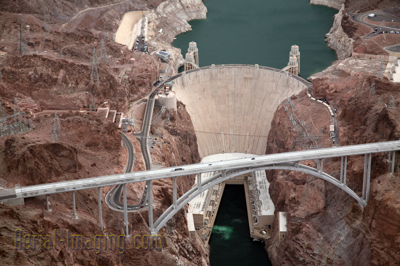
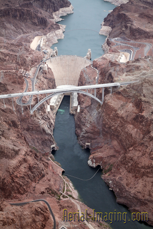
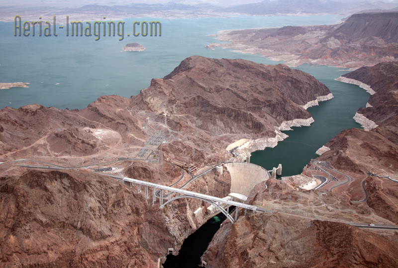
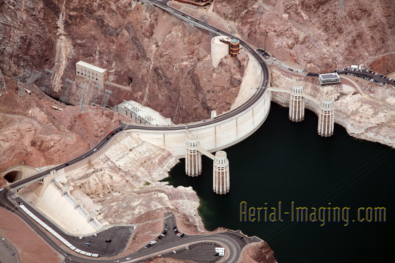
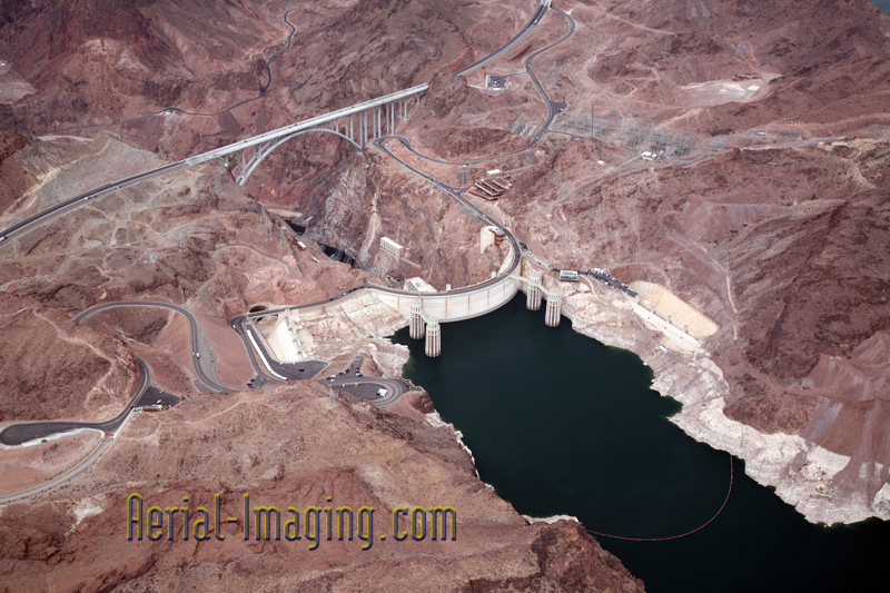
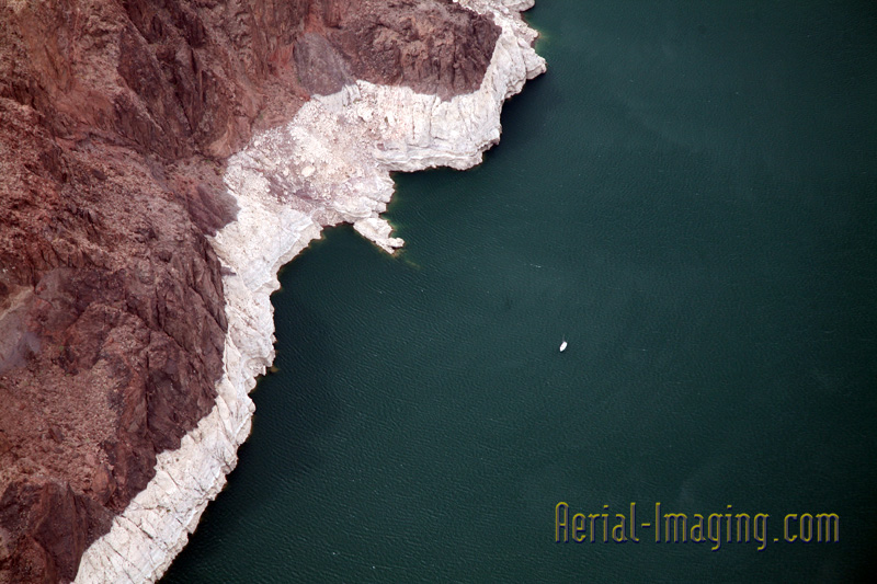
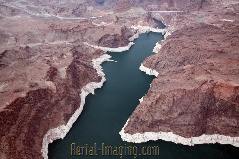
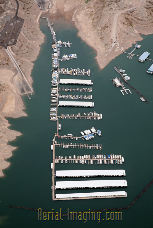
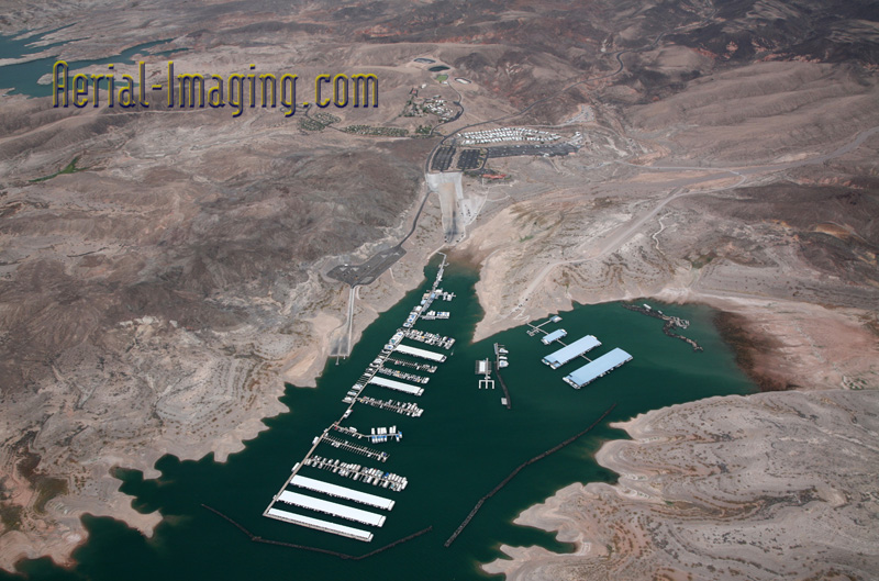
Aerial photography views of Hoover Dam on a cloudy day in summer 2014. You can see the lowest levels ever for Lake Mead as the 14-year drought plagues us in the west. In these aerial shots you can see white “bathtub ring” of mineral deposits encircles Lake Mead, evidence of water levels that are dropping at a rate of 1½ to 2 feet per month. The water mark is now 130 ft. lower than its peak in 2000. According to recent statistics, the reservoir is currently 39% full. More than 40 million people rely on Lake Mead for water. See our gallery of creative aerial shots for more unique aerial photography shots. Click images below for larger samples.